The route
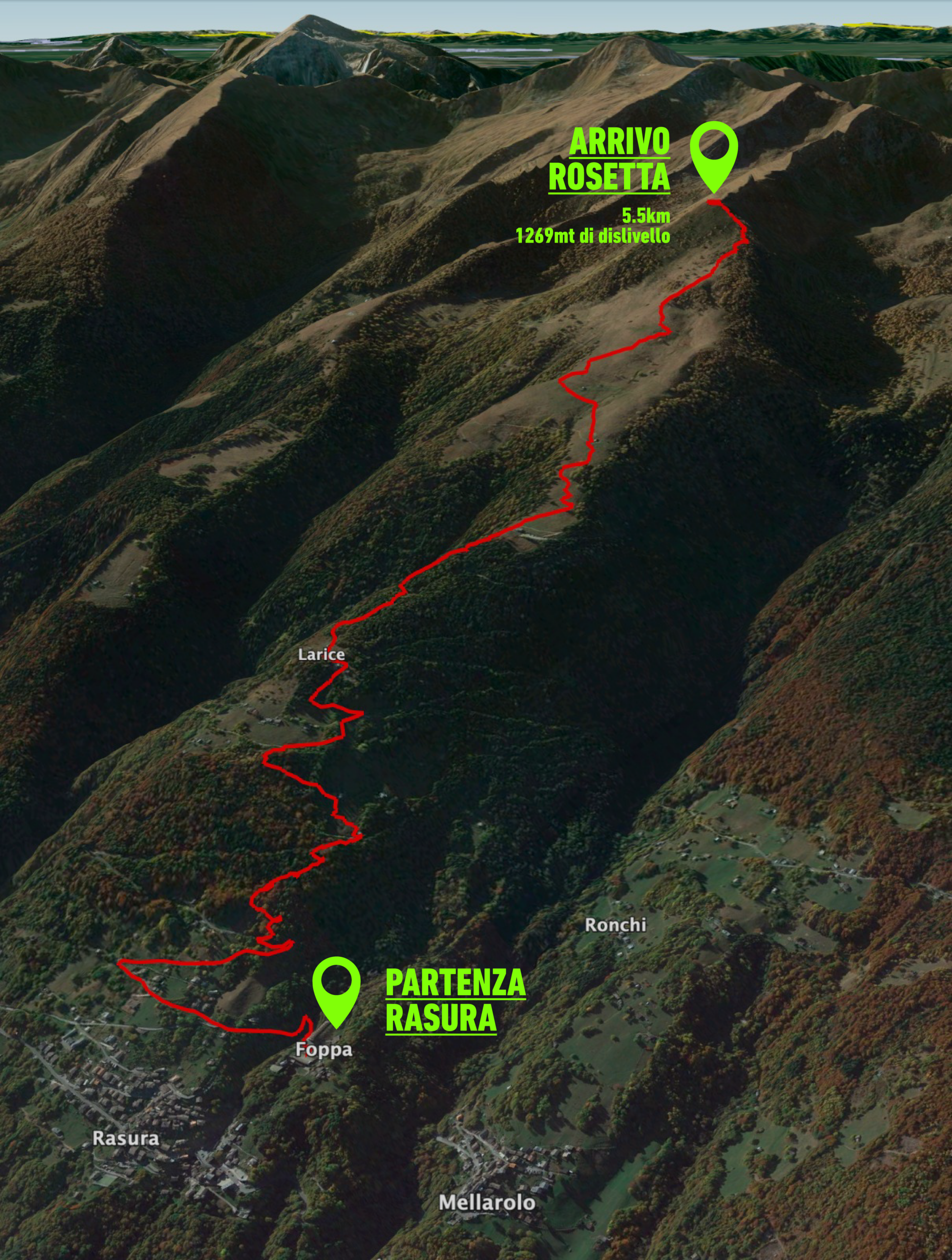
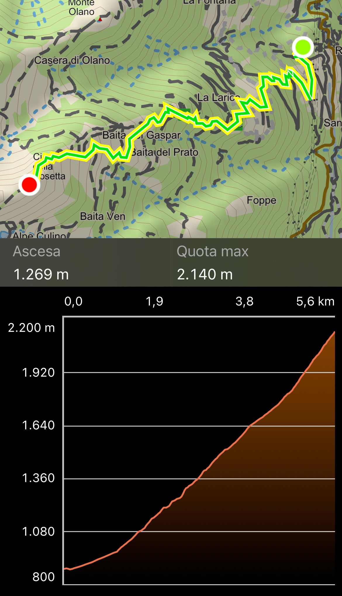
The starting point is the Polifunzionale of Rasura. The route covers 5.5 kilometres with a difference in altitude of 1,269 metres, almost entirely on footpath, within the frame of the Orobic mountains of Val Gerola, reaching the highest point at cima Rosetta, 2,150 metres.
We urge all athletes to respect the unspoilt nature of the race route, so it is absolutely forbidden to litter the route.
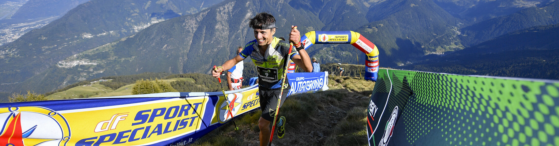
For safety reasons, the finish line of the Valgerola Vertical 2026 will be located at Cima Rosetta. However, after crossing the finish line, all athletes must continue for approximately 400 metres along a gently descending section to Baita della Cima. IMPORTANT: Any athlete who stops at the finish area and obstructs the flow of other competitors will be disqualified. Although this is a strict measure, it is necessary due to the steep terrain surrounding the finish area. The Organising Committee does not wish to deprive participants of the experience of finishing at the summit, but asks for everyone's cooperation in order to prevent accidents and ensure the safety of all competitors.
GPS track to download (in .gpx format):